Trekking trails of Monte Pisano
Testo disponibilità:
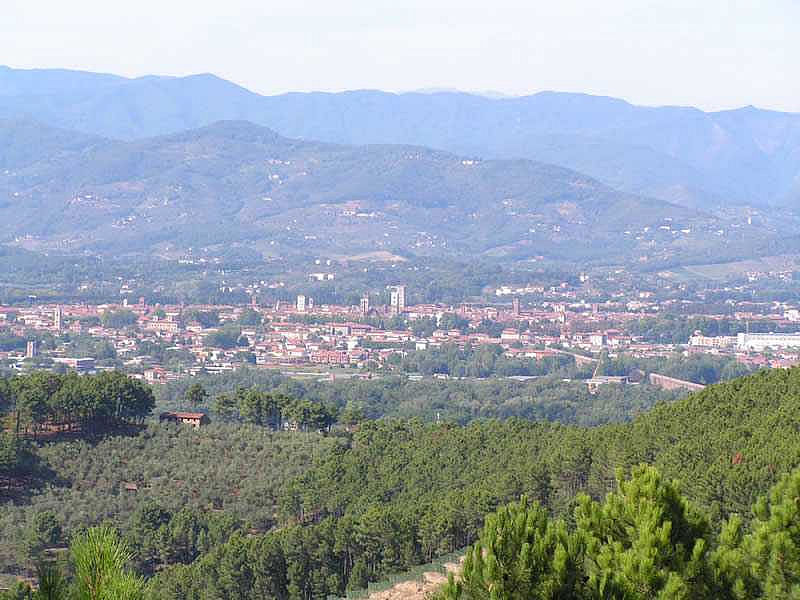
The Monte Pisano lies at the southernmost end of the territory of Capannori and divedes Lucca from Pisa. The mountains has unique characteristic in Italy, as it completely isolated from other mountains and it limited by streams and rivers. The highest peak is Monte Serra, at 917 m.
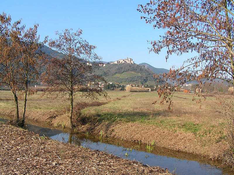
From an environmental stanpoint, it has a rich biodiveristy and offers view over the plain of great beauty.
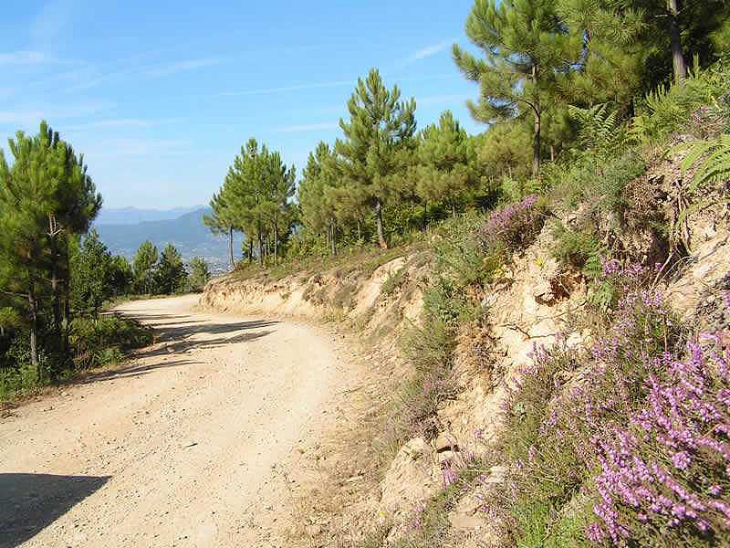
The trekking paths are 80 km long in total, divided in 10 rings conveniently marked. To these, the 'Sentiero Pisa' has to be added: this one follows the watershed.
Besides these tracks, there are other paths and intineraries in the southern area of Capannori, and amog them:
• Tour of the villas: a compplex of small circuits in and around Vorno, touching many historical villas;
• Southern variant of the Via Francigena, complementing the historical Via Francigena route and accessible by bike;
• Via della Buona Acqua, to discover the many water springs of the area;
• Camellias path: itinerary in Pieve and Sant'Andrea di Compito, called Village of the Camellias.
All trails are marked, therefore they can be combined at pleasure.
Trail 0-0 - Sentiero Pisa
Trail 122 - Vorno e Coselli
Length: 6 km.
Height difference: 400 m.
Time: 2.15 hours.
Trail 124 - Via Calcesana
Length: 4 km.
Height difference: 550 m.
Time: 2.15 hours
Trail 126 - Monte Zano
Length: 2,8 km.
Height difference: 370 m.
Time: 1.30 hours.
Trail 128 - Le Parole d'Oro
Length: 7 km.
Height difference: 570 m.
Time: 3 hours.
Trail 130 - Santallago
Length: 7 km.
Height difference: 800 m.
Time: 3 / 3.30 hours.
Trail 132 - Fosso del Lupo
Trail 134 - Sassabodda
Length: 4,5 km.
Height difference: 400 m.
Time: ore 2.15.
Trail 136 - Trasversale di Compito
Length: 7,5 km.
Height difference: modest
Time: 3 hours.
Trail 138 - Pian Bello
Length: 7 km.
Height difference: 750 m.
Timea: 3.15 hours
Trail 140 - Castelvecchio
Length: 8 km.
Height difference: 450 m.
Time: 3 hours.