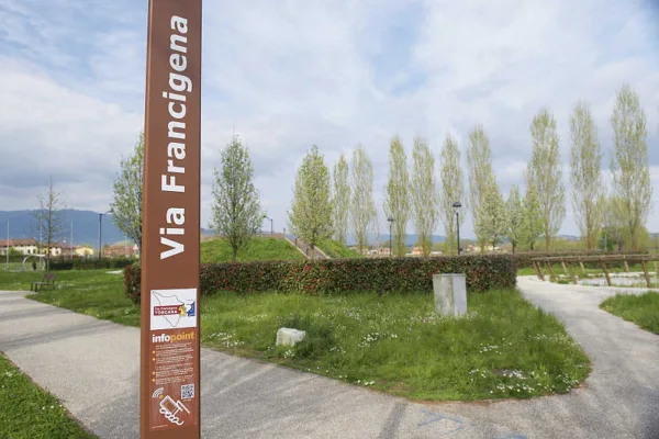

The Hiking Trail Network of the Northern Area of the Municipality of Capannori


Nature Trails to Explore the Local Area
Northern Trail Network of Capannori
The northern trail network of the Municipality of Capannori includes 17 hiking routes that allow visitors to explore the hilly and mountainous area of the Pizzorne Plateau, part of the Tuscan-Emilian Apennines. These trails offer scenic walks through forests and panoramic views over the Lucca plain.
Trail No. 1 – Monte Gromigno
This trail connects Monte Gromigno to the Pizzorne area and is a medium-difficulty hike featuring a 650-meter elevation gain. The total length is approximately 14 km, with an estimated walking time of 6 hours (excluding breaks). Starting from Piazza Oplà in Pistoia, the route offers beautiful views of the Tuscan countryside and access to the Pizzorne Plateau.
-
Length: 8 km
-
Elevation gain/loss: +750 m / –100 m
-
Estimated time: 3.5–4 hours (depending on starting point)
Download the trail map (Trail No. 1):
Trail No. 2 – Pietra Pertusa
Located on the Pizzorne Plateau in the municipality of Capannori (Lucca), this trail leads to the site of a possible ancient dolmen and offers sweeping views of the Lucca plain.
-
Length: 4.5 km
-
Elevation gain/loss: +630 m / –60 m
-
Estimated time: 2.5 hours
Download the trail map (Trail No. 2):
Trail No. 3 – La Cartiera
This trail links Valgiano (locality “Sana”) with the Pizzorne Plateau, passing through the area known as “La Cartiera”. It includes a river crossing over the Sana stream and features a mix of paved roads, forest paths, and woodland tracks.
-
Length: 3.7 km
-
Elevation gain: 650 m
-
Estimated time: 2.5 hours
Download the trail map (Trail No. 3):
Trail No. 4 – Monte Scarpiglione
This panoramic route on the Pizzorne Plateau leads to Monte Scarpiglione. The trail alternates between uphill stretches and flat sections, passing through forests and along streams. It’s suitable for both experienced hikers and those seeking a more relaxed excursion.
-
Length: 4 km
-
Elevation gain: 520 m
-
Estimated time: 2 hours
Download the trail map (Trail No. 4):
Trail No. 5 – Prato di Romigno
This circular trail winds through countryside and woodland areas, offering picturesque views of the surrounding landscape.
-
Length: 6.5 km
-
Elevation gain: 660 m
-
Estimated time: 3 hours
Download the trail map (Trail No. 5):
Trail No. 6 – Querce del Papa
This trail connects the church of Petrognano to Monte Querce del Papa.
-
Length: 4.8 km
-
Elevation gain/loss: +420 m / –20 m
-
Estimated time: 2 hours
Download the trail map (Trail No. 6):
Trail No. 11 – Capannori Hills
This trail connects Marlia (at the war memorial) to Corte Luporini.
-
Length: 4 km
-
Elevation gain: 250 m
-
Estimated time: 2 hours
Download the trail map (Trail No. 11):
Trail No. 12 – Valgiano
-
Length: 7 km round trip
-
Elevation gain: 250 m
-
Estimated time: 2 hours and 45 minutes
Download the trail map (Trail No. 12):
Trail No. 13 – San Pietro a Marcigliano
-
Length: 5 km round trip
-
Elevation gain: 300 m
-
Estimated time: 2 hours and 45 minutes
Download the trail map (Trail No. 13):
Trail No. 14 – Sant’Andrea in Caprile
-
Length: 5.5 km round trip
-
Elevation gain: 200 m
-
Estimated time: 2 hours and 30 minutes
Download the trail map (Trail No. 14):
Trail No. 15 – Petrognano
-
Length: 7 km round trip
-
Elevation gain: 320 m
-
Estimated time: 3 hours and 30 minutes
Download the trail map (Trail No. 15):
Trail No. 16 – San Gennaro
-
Length: 3 km
-
Elevation gain: 180 m
-
Estimated time: 1 hour and 30 minutes
Download the trail map (Trail No. 16):
Trail No. 17 – La Pescia
-
Length: 4.5 km round trip
-
Elevation gain: 180 m
-
Estimated time: 2 hours
Download the trail map (Trail No. 17):
-
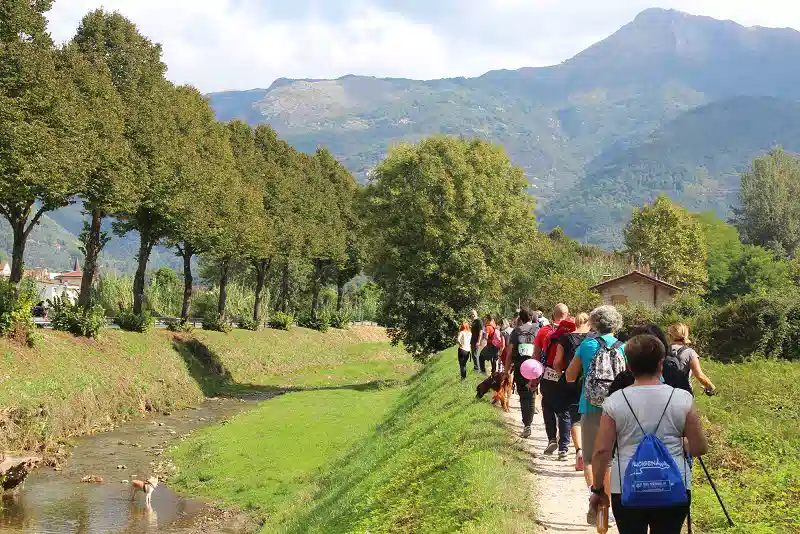
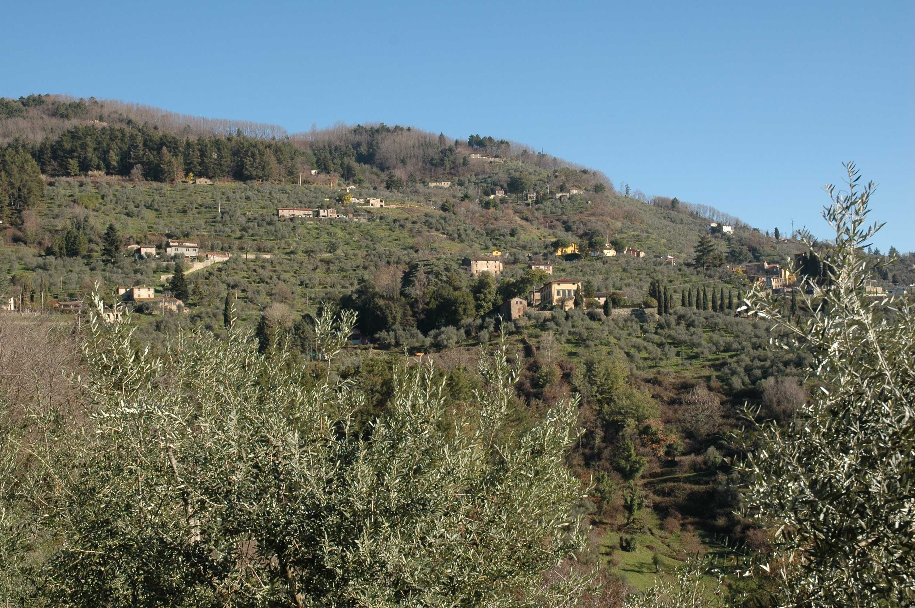
DSC_0068
-
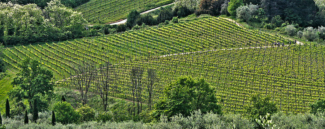
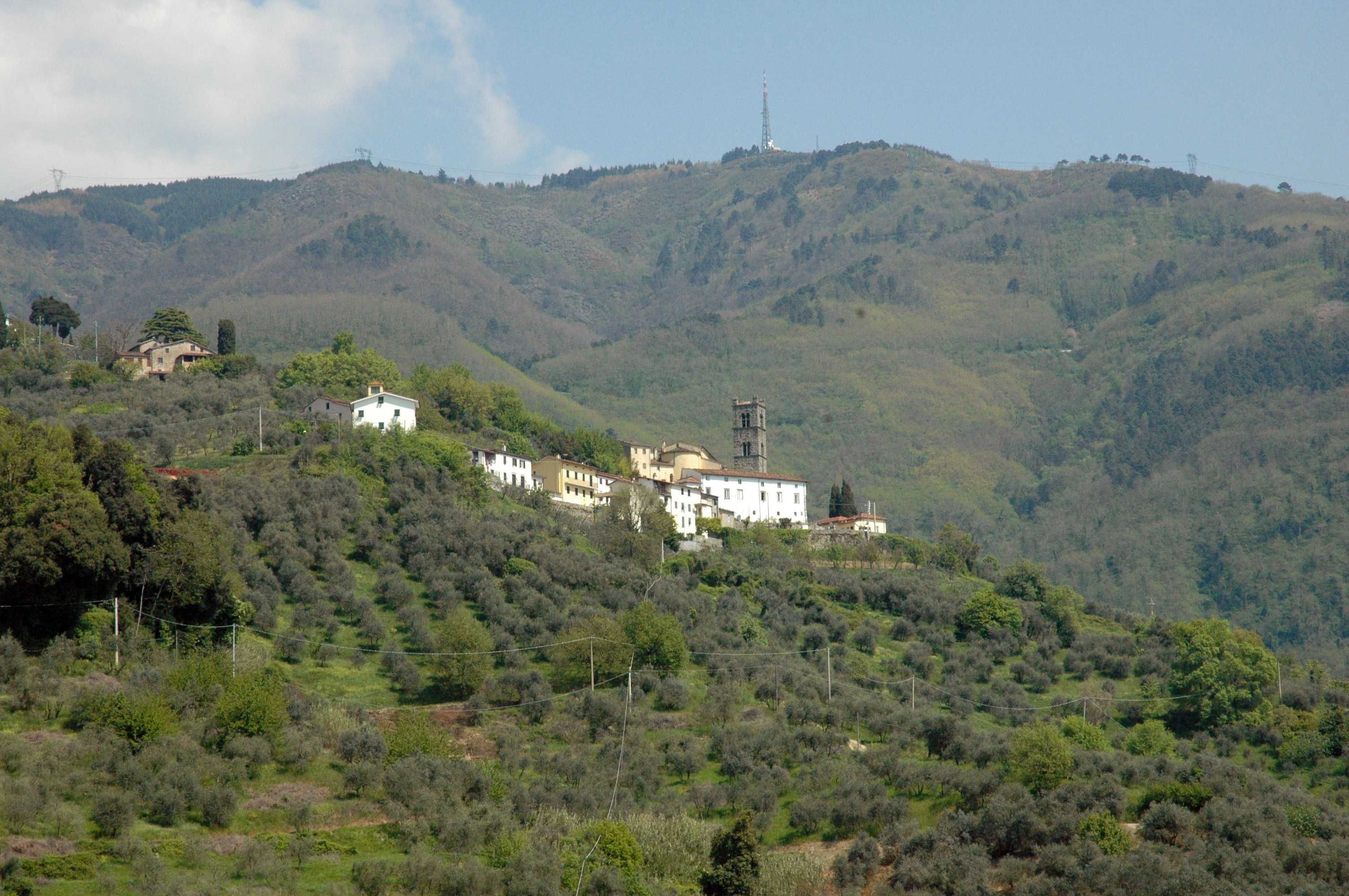
Panorama S. Gennaro
-
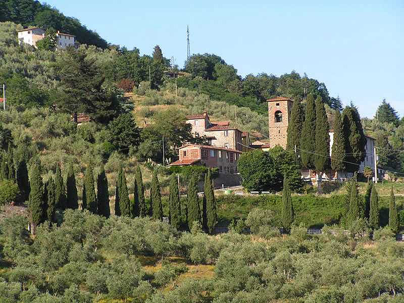
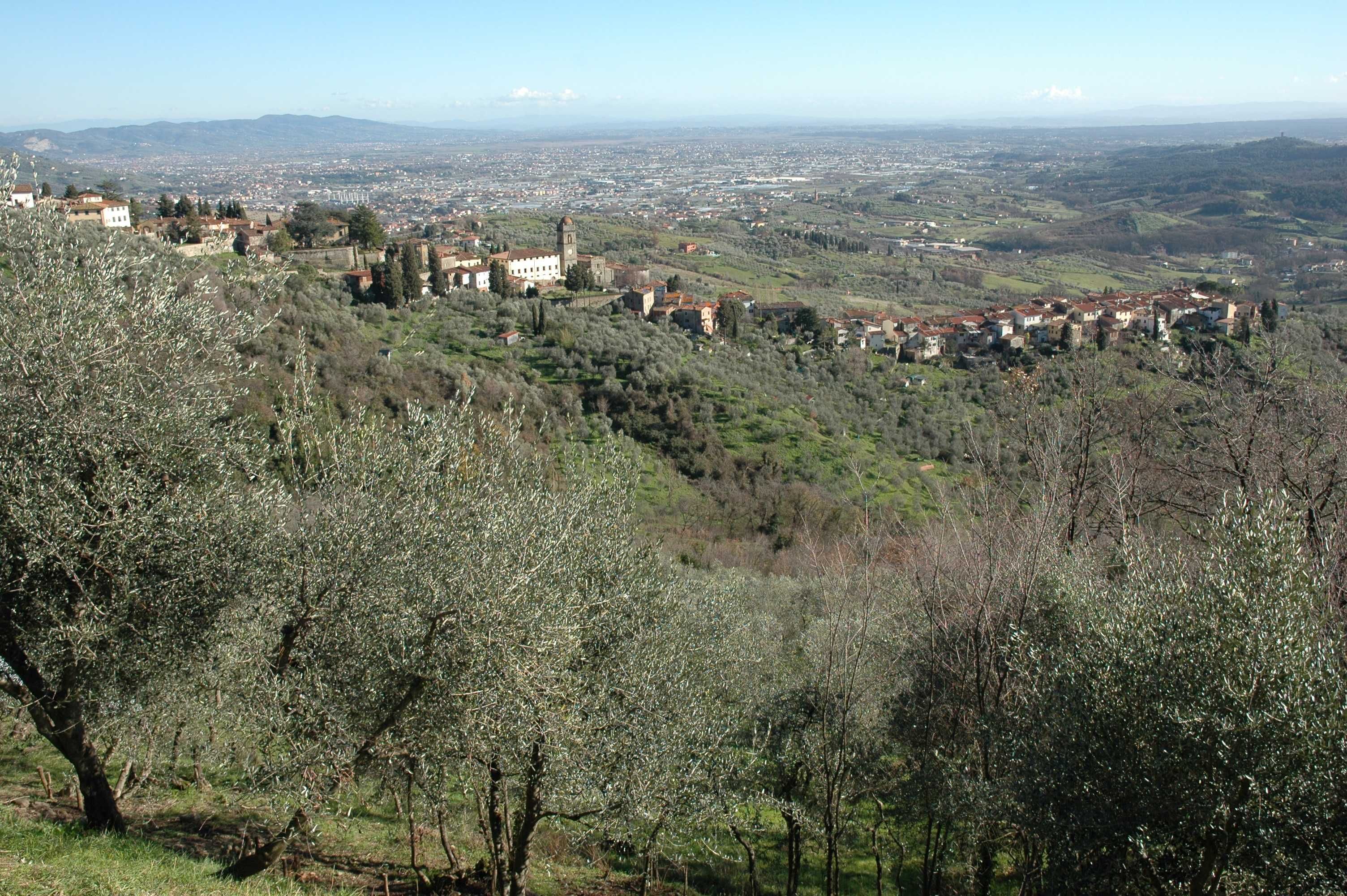
Petrognano
-
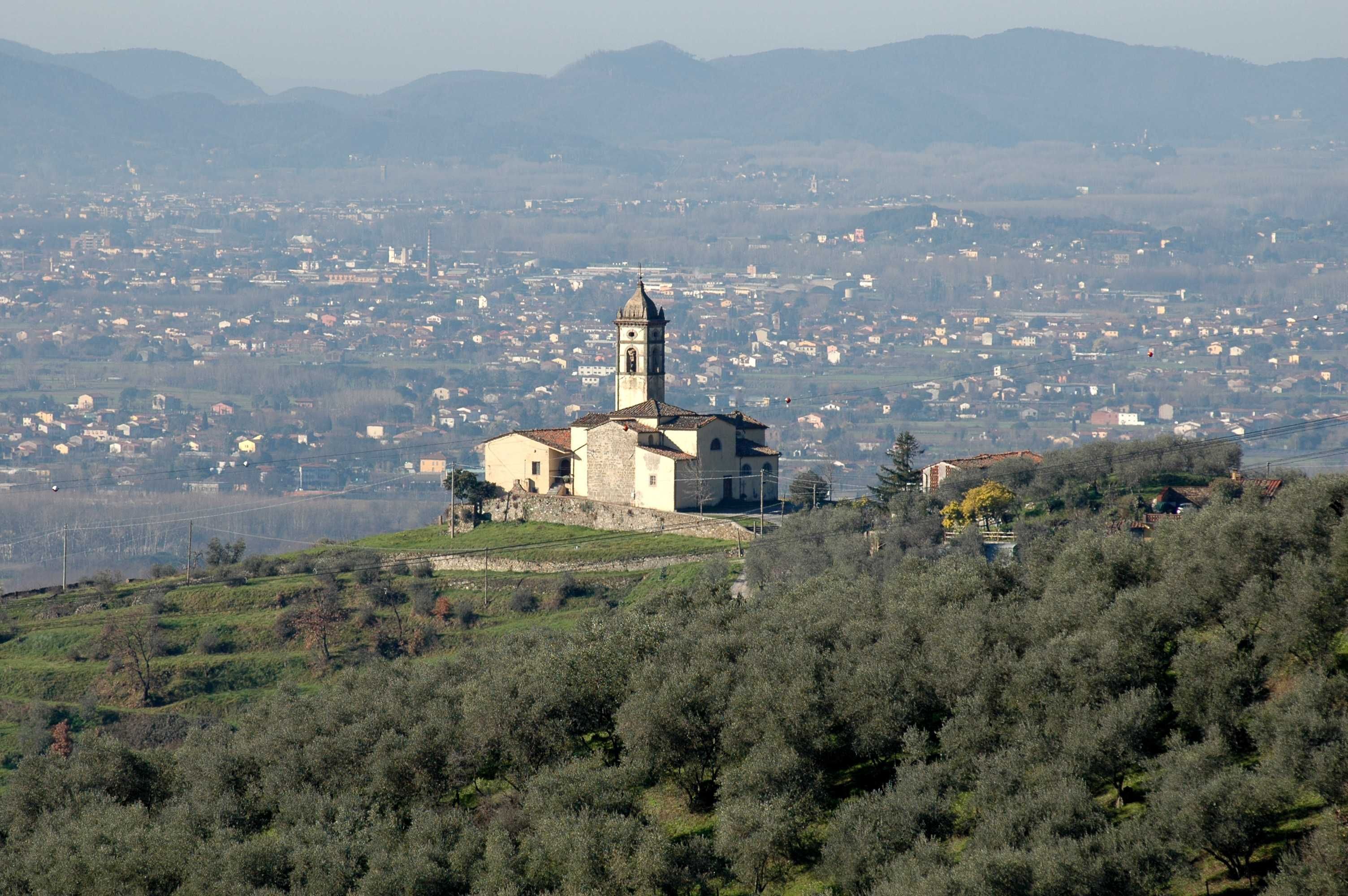
Tofori e piana